Raven Run
| Route 66 | Cities | Beaches |
|
Raven Run |
|
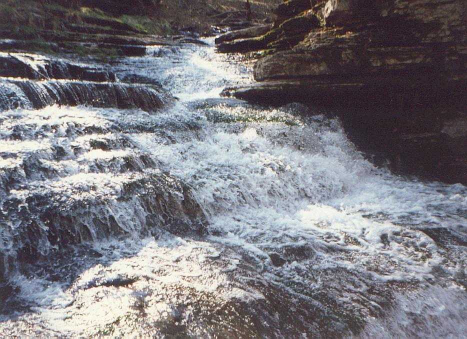
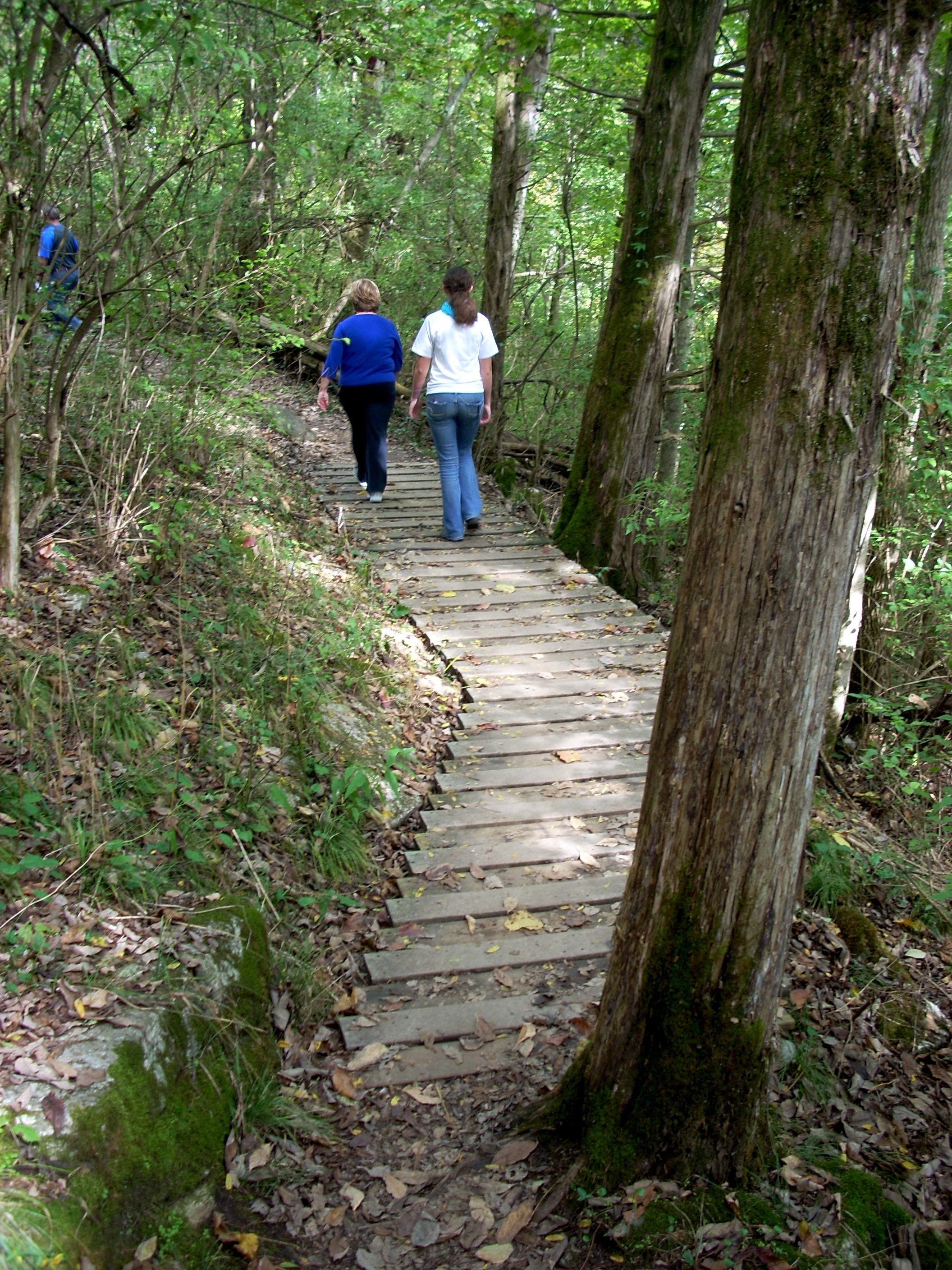
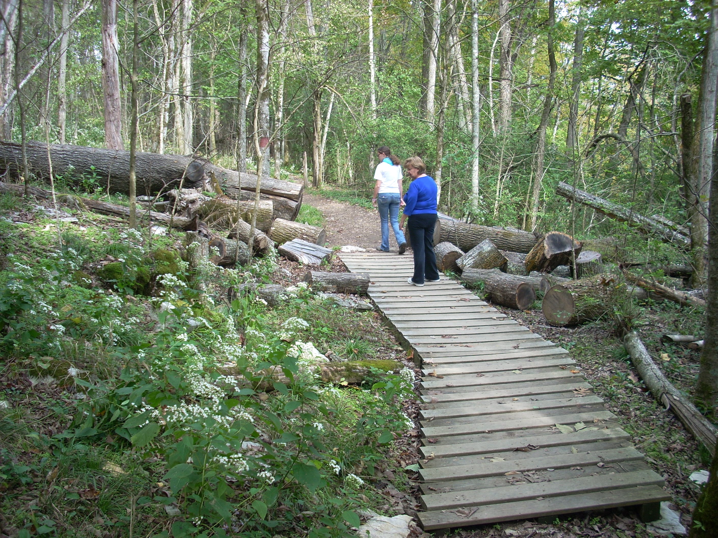
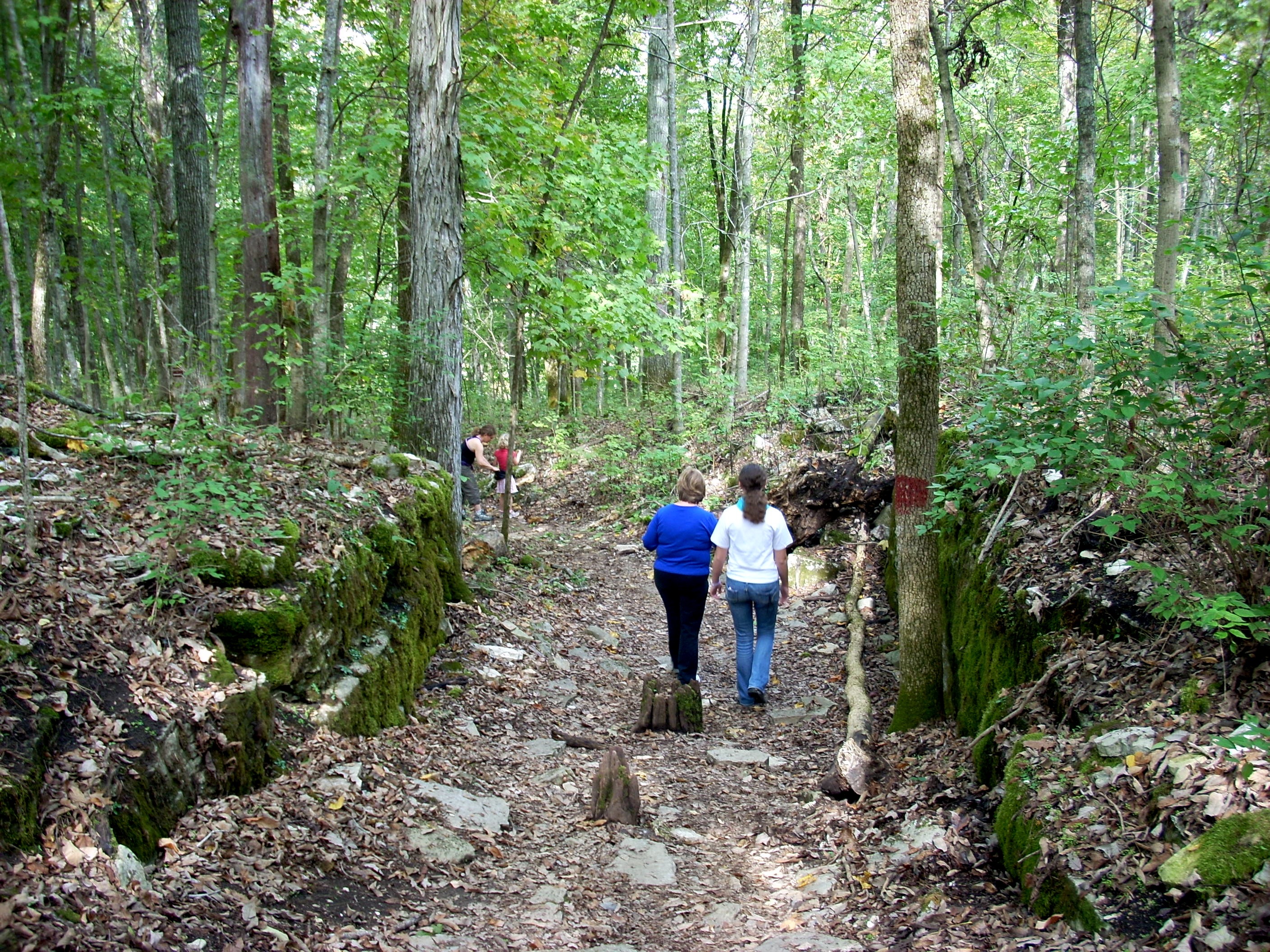
Raven Run Nature Sanctuary is a beautiful day hiking preserve about 30 minutes from Lexington. The cobweb of trails allows a dozen combinations according to how much time you have and how many miles you want to walk. Raven Run is an old 800 acre farm which was homesteaded in 1790 and worked until 1932. It was then abandoned and left to grow back in forest. The drive out and back takes you through the famous Blue Grass Backcountry, tree shaded roads with horse farms on both sides. It's a great glimpse of what Central Kentucky looked like until about 1980. But those horse farms are high on a plateau. The two creeks, Raven Run and Chandler Run, carve out a triangular shaped valley as they descend from the plateau to the Kentucky River. The Raven Run property is bordered by Chandler Run to the Southeast, the River to the East, Jacksboro Pike to the South, and the ridge on the north side of Raven Run. The Sanctuary is thus a hidden treasure, lower, cooler and wetter than the surrounding plateau. It contains 45 kinds of trees, 640 plant species and 200 bird species, although the various birds come and go with the seasons. The trails are well maintained, with boardwalks over swampy or eroding terrain, and stairs where needed. The cobweb of trails uses a color system. The red trail is the longest, the most scenic, and the one we recommend. The official map lists it at four miles, but our pedometer, which is calibrated weekly at the University of Kentucky quarter mile track, suggests it's actually six if you add the optional detours we suggest. No water is available anywhere in the sanctuary, so it's imperative you fill up at the Visitor Center. The Cascade, above right, only looks like this in the Spring and Fall and after an all day rain in the Summer. In August this same waterfall may actually be dry. The original farm was owned by Jesse Copher and the core farmhouse was built in 1800. In 1804 Baruch Prather purchased the farm and greatly enlarged the house. Prather owned slaves and gradually added acreage to the farm until it totaled 800 acres. Today the house and its surrounding acreage is the site of a major archaeological project.
|
 |
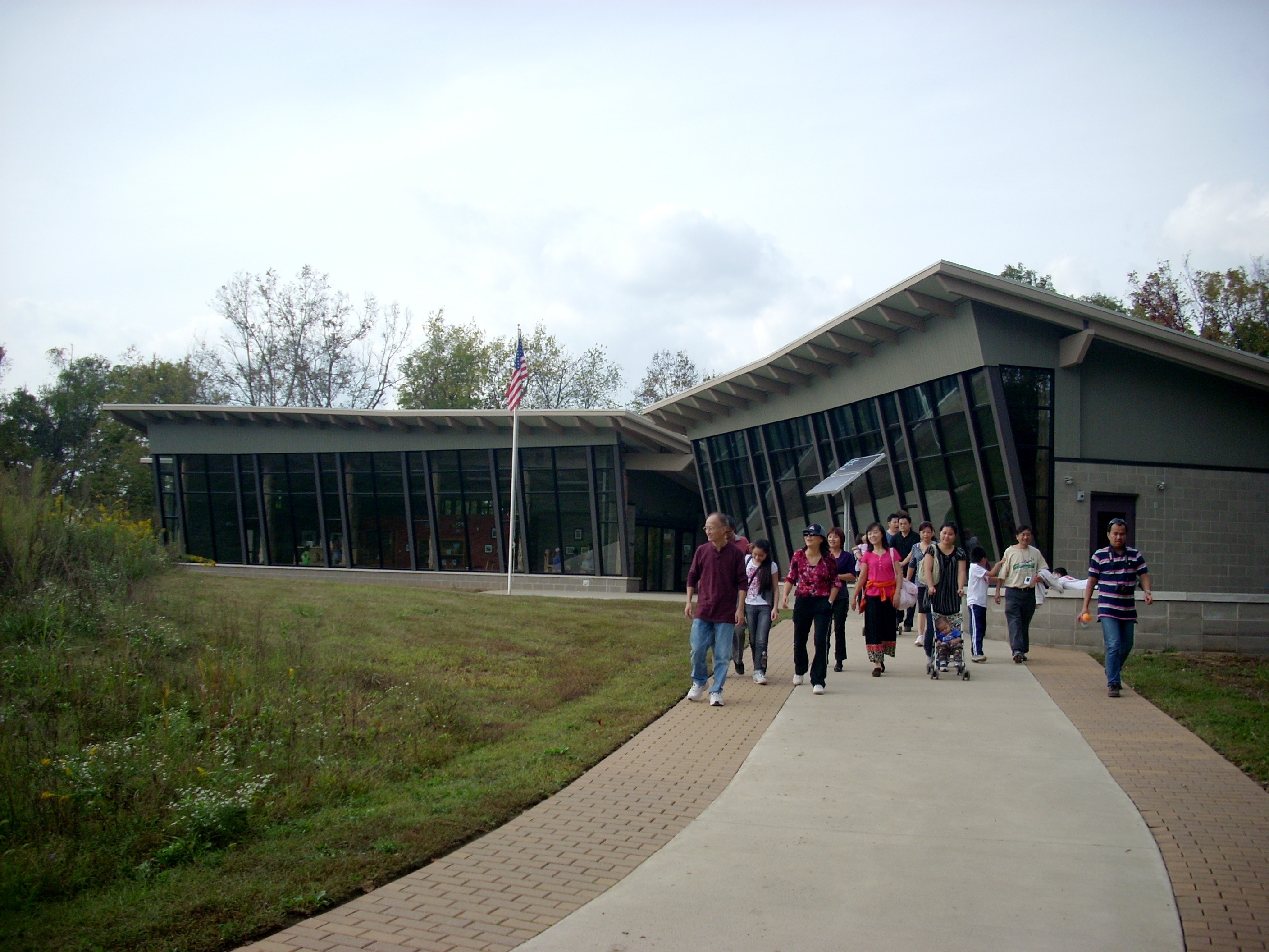 |
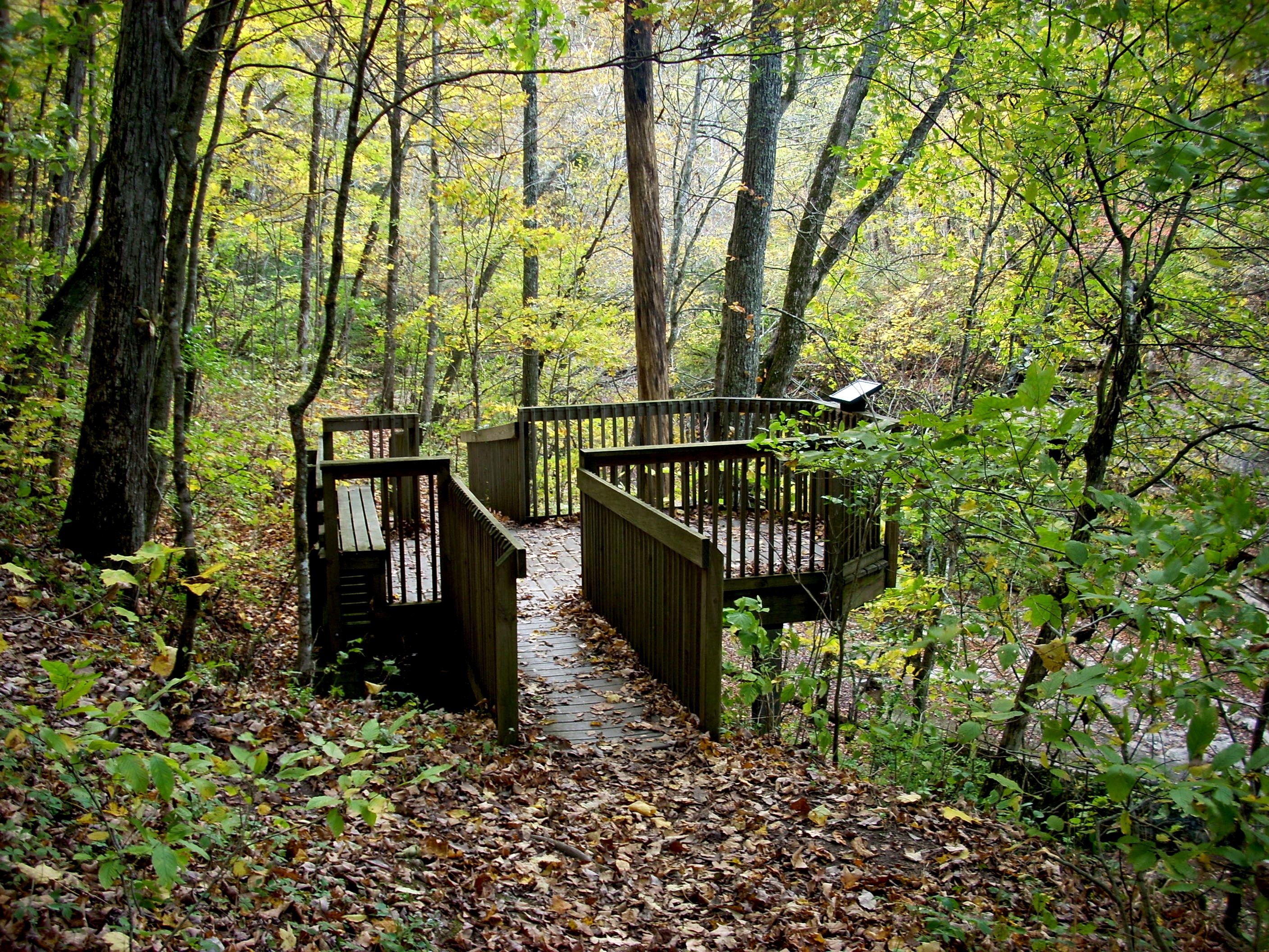
The $1.8 million, 4800 square foot Visitor Center opened in 2010. The City of Lexington funded $1 million, the Friends of Raven Run contributed another $600,000, and major donors took care of the rest. Notice the windows are banked outward. This prevents reflections, which avoids birds flying into the glass and killing or injuring themselves. Inside, the Center contains restrooms, offices, classrooms, a small museum and displays of photos, maps, and artifacts like birds nests, turtle shells and snakeskins. You can pick up trail maps and guides to trees, birds, wildflowers and mammals. Park staffers teach classes and workshops in birds, butterflies, snakes, wildflowers and Astronomy.. They bring out telescopes, set them up on the Visitor Center deck, and let visitors view the planets and the stars. During the school year science classes and Boy Scout and Girl Scout troops are frequent visitors. Shown here at left, a Korean group completes a tour of Raven Run. They hiked the Red Trail all the way around. |
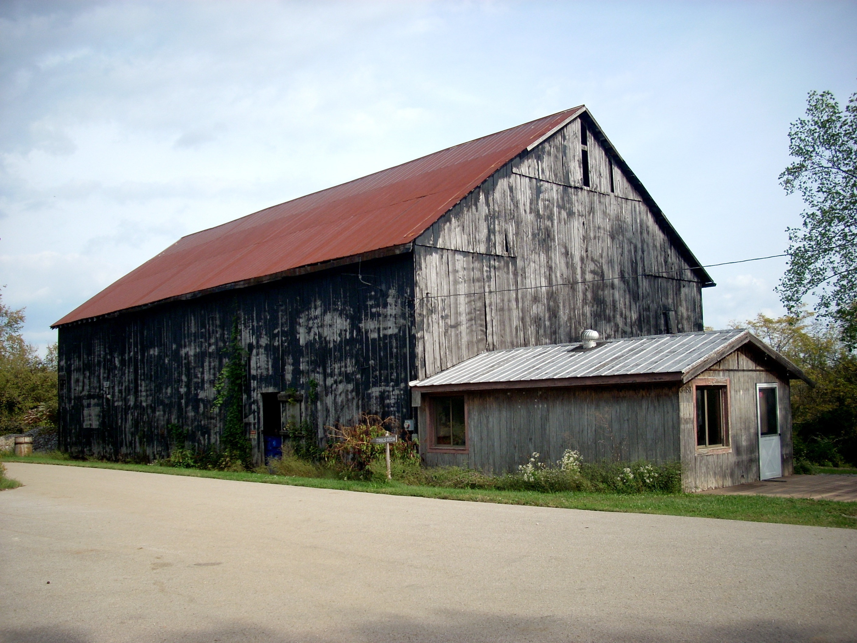
During the idle years when the old farm was reverting to forest, two tracts were sold to farming neighbors. One of those, across Raven Run to the North, has finally been reacquired, with an odd problem. A 15 acre section right in the middle had been sold to a different owner who retains title. He cannot get to his own land without crossing Sanctuary land, and there is no access to Sanctuary land without either crossing the creek, crossing the river, or crossing adjoining farmland. Because of these access issues and the 15 acre unusable tract right in the middle, no trails have been built on the North Side, and public access is not allowed. Projections are for one or possibly two bridges across Raven Run, a lookout on the cliffs above the Kentucky River, and a trail winding through the tract. Meanwhile, the North Tract is a de facto wilderness. The other tract, a bent finger shaped tract just to the left of the entrance, was further subdivided into three tracts and is still owned by three different neighboring families. Its reacquisition is a long term goal but the tangle of multiple ownership is not expected to be unravelled anytime soon. The barn at right was built on the old farm in 1931. The small building was used as a nature center until the new Visitor Center was built. Today both these buildings are used for storage and maintenance. |
 |
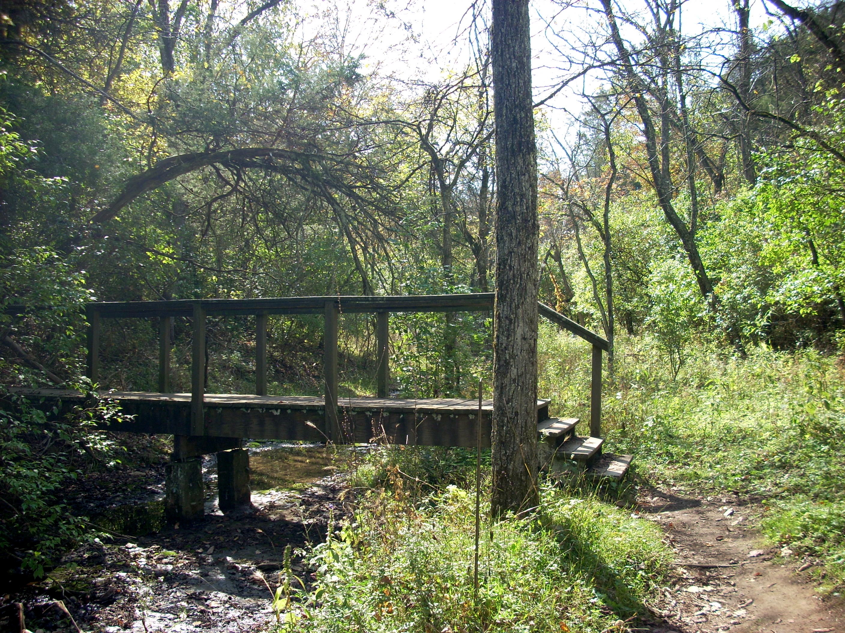 |
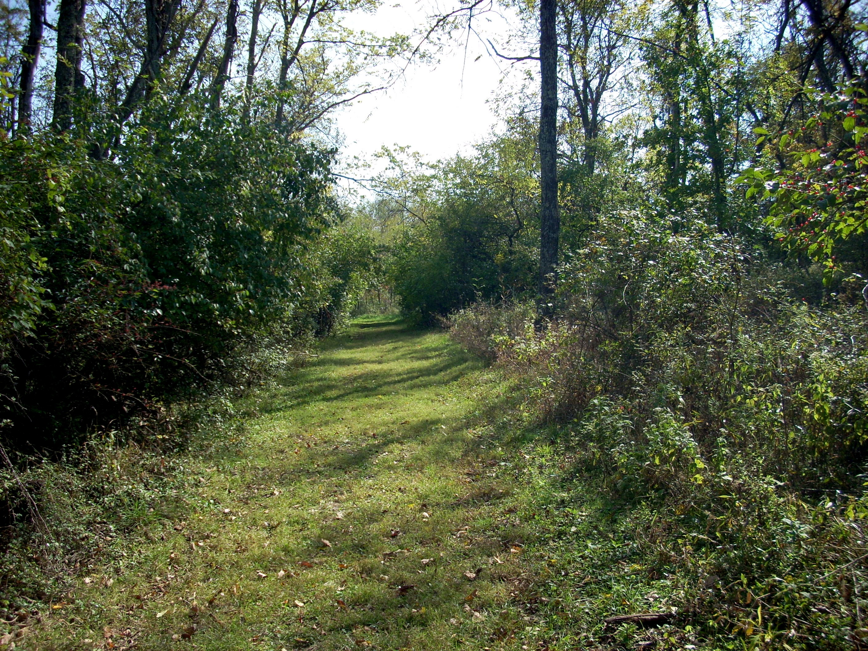
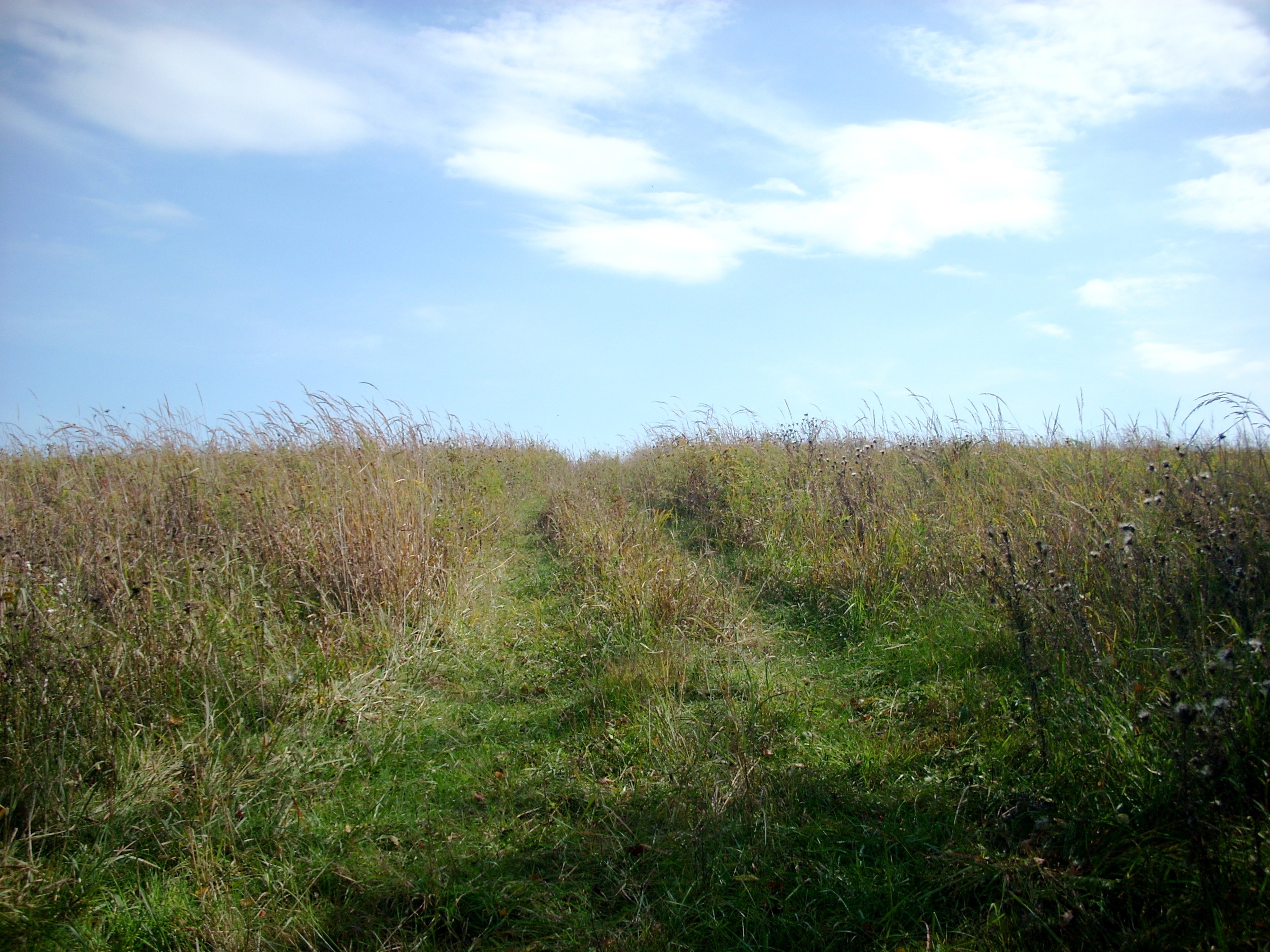
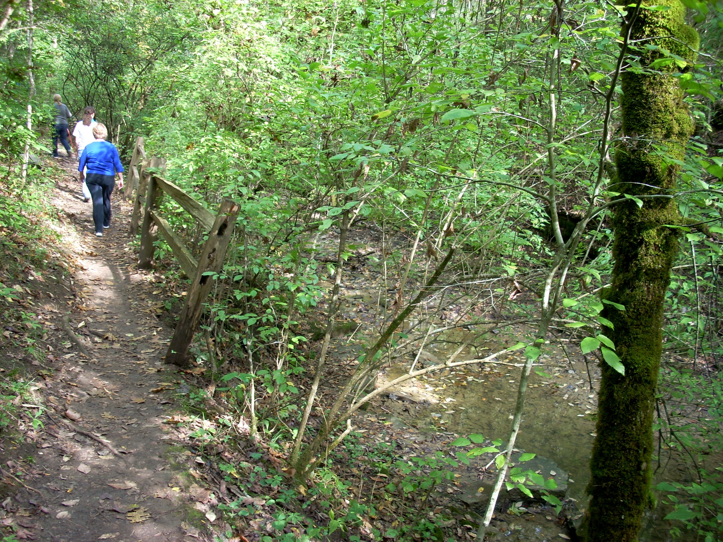
If you're a hard core veteran hiker in good condition, it doesn't matter. But for occasional weekend strollers in the woods, we recommend hiking the Red Trail clockwise. You're going to encounter uphill stretches either way, but the climb back up from Chandler Run to the Old Barn is a lot shorter and gentler than the continual uphill from the Grist Mill, which goes on and on and is often quite steep. Therefore, not far from the Old Barn, when you come to the Red Trail signposts, we advise you turn LEFT. There are also numerous Blue Trail turnoffs along the way. We stay on the Red Trail. On another day you can come out and explore all the Blue detours. As you begin hiking the Red Trail, you wind your way down the shoulder and come to Jacks Creek and this footbridge. In late Summer and early Fall Jacks Creek is usually only a trickle, but in the Spring or after a few days rain, it fills up. Be sure to take the Orange Trail to the left, however. The three photos below are along that side loop. It takes you on a long circuit of two sections of young woodland and a huge hilltop meadow from which you can look over much of Ravens Run and get an idea where everything lays. |
 |
 |
 |
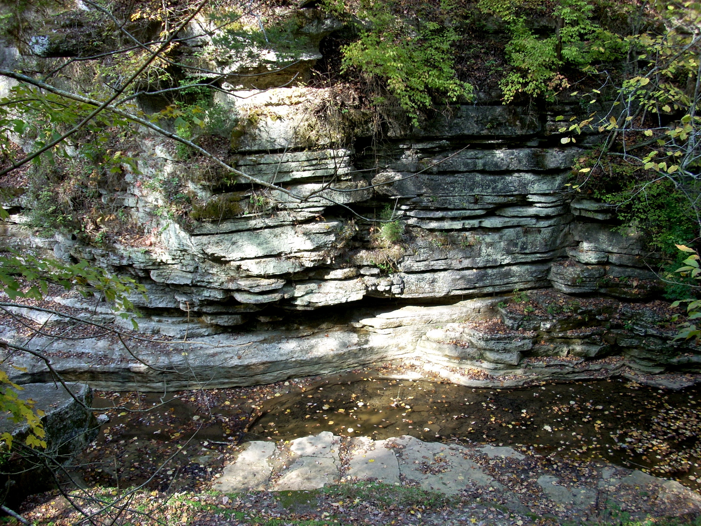
| After the Orange Meadow Loop rejoins the Red Trail, the route gradually descends into the Raven Run Gorge, Eventually it doubles back and again crosses Jacks Creek, this time over a much longer and nicer bridge. In the Spring or after heavy rains, this is a photographer's dream, because all the water cascades down a continual series of rock ledges. This photo was taken in early Fall, and you can see the streambed is dry except for a small flow, exposing all the rock. This is also a scenic place in January and February, as the rock ledges are encased in ice. Just beyond this bridge another Blue Connector turns uphill. It would take you up to a Green Trail, which goes back to the Old Barn. But as usual we recommend staying on the Red Trail. It follows a ledge for a while, then descends to the Little Palisades, a Raven Run version of the larger limestone cliffs on the Kentucky River. The photos below show the Little Palisades. | 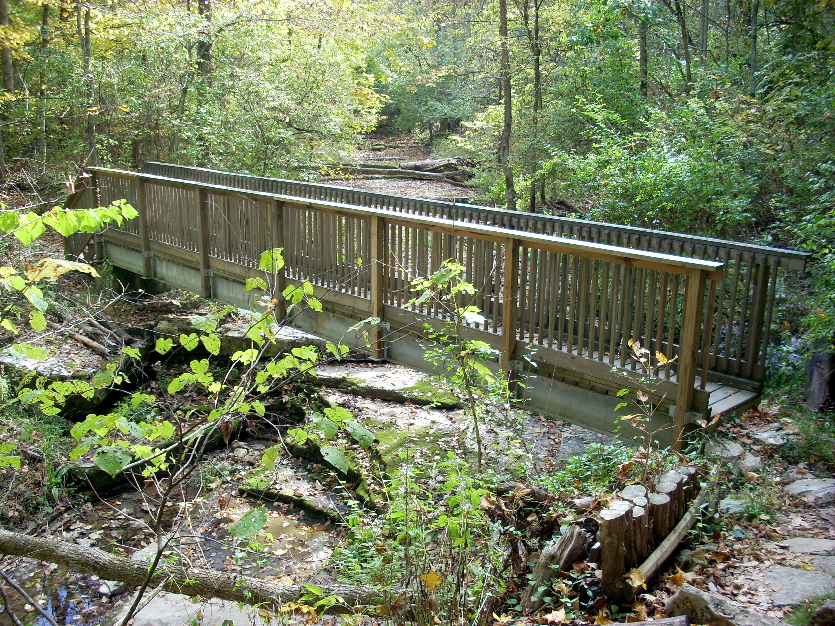 |
 |
 |
 |
 |
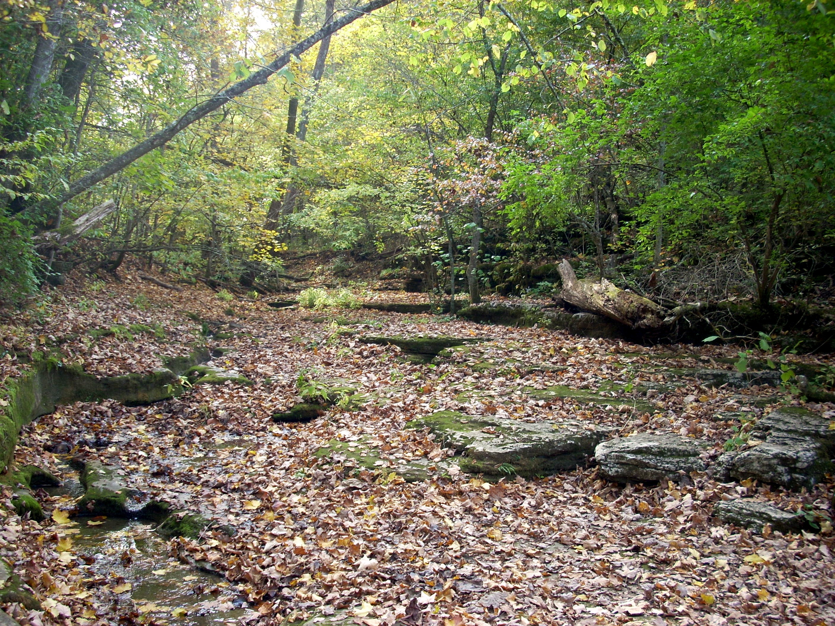
This is the traditional rest stop, marking the first third of the Red Trail hike. There's a bench (at right) and plenty of rock ledges or tree trunks to sit on. There are great photographic angles. And there's history to ponder here, with the ruins of The Old Mill. If you can battle your way down here in January and February, it's pretty spectacular with all the ice formations. In May there are lots of wildflower displays. It's a rather hypnotic place to have lunch, with the water gurgling melodically through the Narrows and breezes riffling the leaves. The observation deck looks directly down on the remains of the Old Evans Grist Mill. The sluice drew water from the stream further up and carried it along the hillside, then running it out and pouring it onto the Over Shot Wheel. The wheel turned a grinding wheel, which ground wheat into flour. Farmers brought their wheat from throughout southeastern Fayette County to have it ground. The presence of this year round grist mill here is further proof that Central Kentucky in the 1700s and 1800s received considerably more rainfall than it does now. (Historians and hydrologists also know this because riverboats used to travel up Town Creek and tie up in downtown Lexington, whereas today Town Creek is a small stream unable at any time to float a riverboat.) |
| This scene shows the Red Trail climbing out of the Raven Run Gorge. It's not a particularly steep or long climb, and it brings you to a broad ledge, which the trail then follows around in an arc for the middle third of the hike. Along the way, several trails branch off to your right (uphill). They take you across meadows back to the Old Barn. If that 4:30 closing time were approaching you might take one of them, but otherwise you should stay on the Red Trail. Eventually it drops halfway back down the hillside and comes to the Kentucky River Overlook, the 2/3 rest stop. This middle third of the hike takesw you through the most mature forest at Raven Run. Remember this is all second growth, because the whole property was farmed or grazed. But various sections were abandoned at various times. This area was obviously abandoned long enough ago that a mixed mesophytic forest has had time to grow back, even though the trees are still young. | 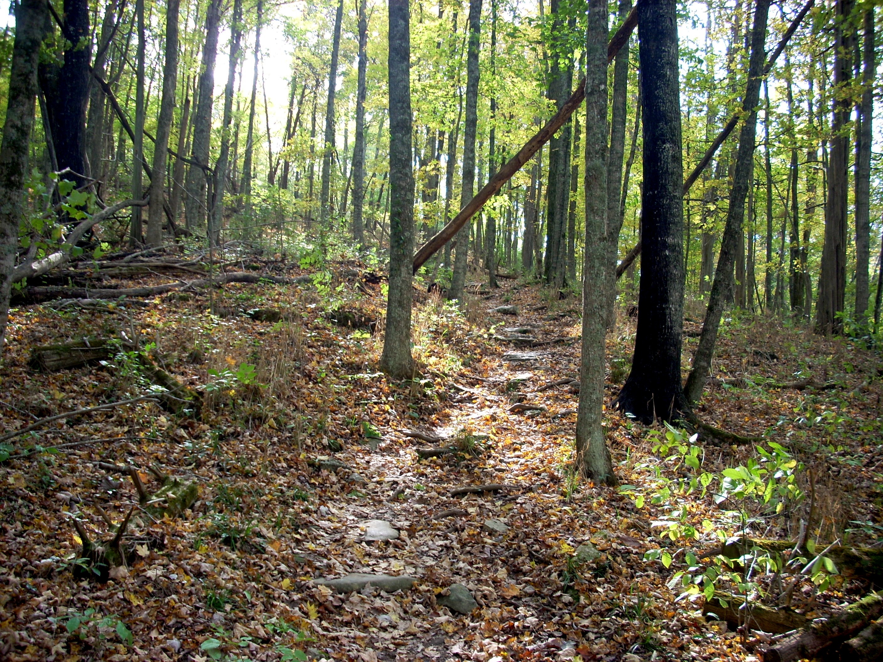 |
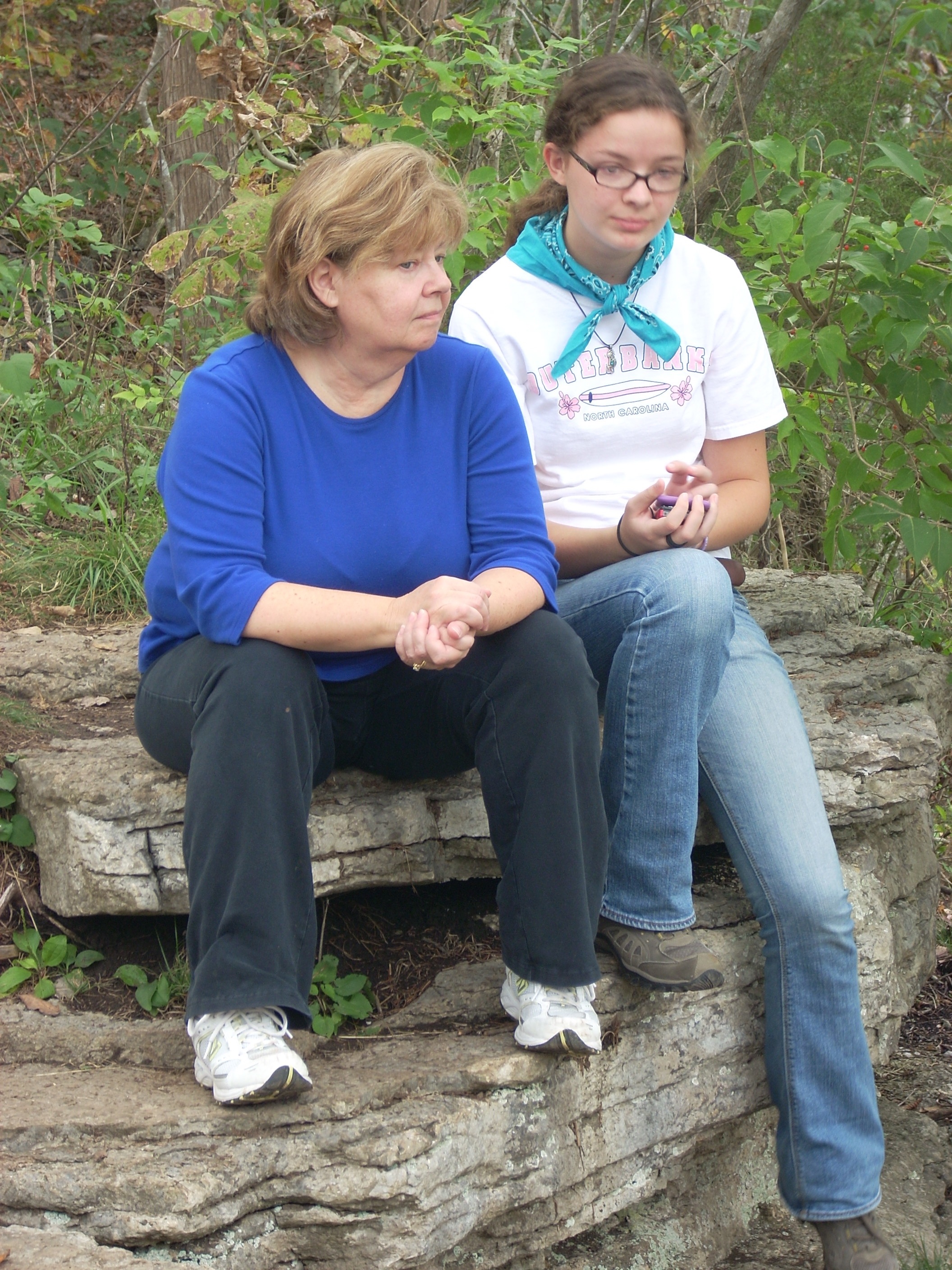 |
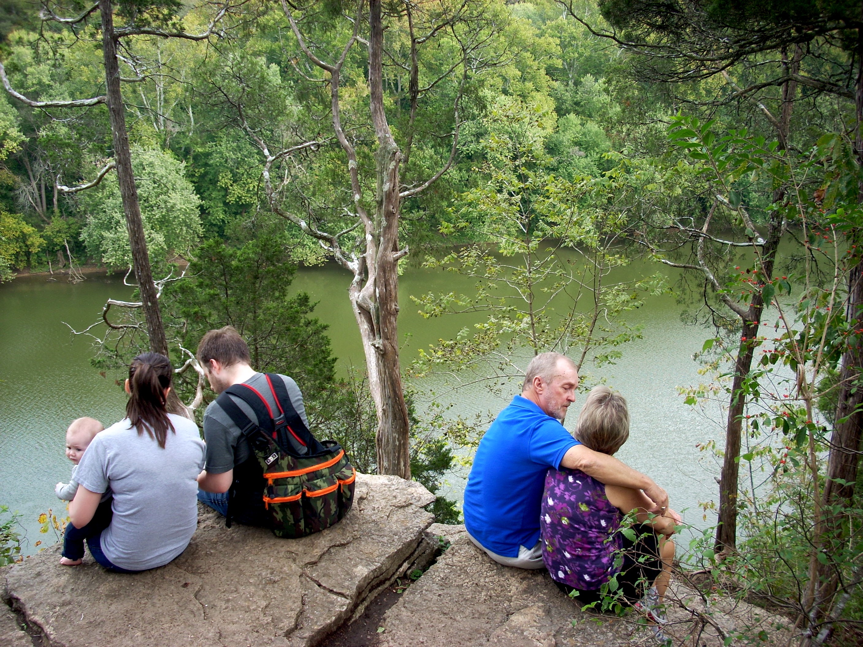
At the Kentucky River Overlook there are numerous rocks and rocks ledges you can lean against, sit on or sprawl out on. You have a beautiful view of the Kentucky River. It's a pleasant spot to eat a leisurely lunch and watch boats and sometimes water skiiers below you. On a hot day there's usually a breeze blowing across the overlook. The only drawback is everyone stops here. This is the most popular hiking destination on the property. Many people who would never hike the entire Red Trail will walk down the Green and Blue connectors to the Overlook, then go back. So as you eat your lunch, you'll watch a never ending parade of little kids, harried mothers, church youth groups, foreign vacationers, Scout troops, couples in love and others coming for a five minute look, then heading back up the hill. See photo below left. |
| This is the view from the Overlook. The Kentucky River curves around here as it enters the Palisades, those white limestone cliffs which will line the river for the next 30 miles, getting higher as the river curves further around Fayette County. Those cliffs and that knob you see lie within the additional tract of land Ravens Run has recently acquired but has not built trails in. Out of sight between here and those cliffs, the actual Ravens Run empties into the river. The original farm included a dock down at river's edge so they could load or unloade cargo directly to and from riverboats. | 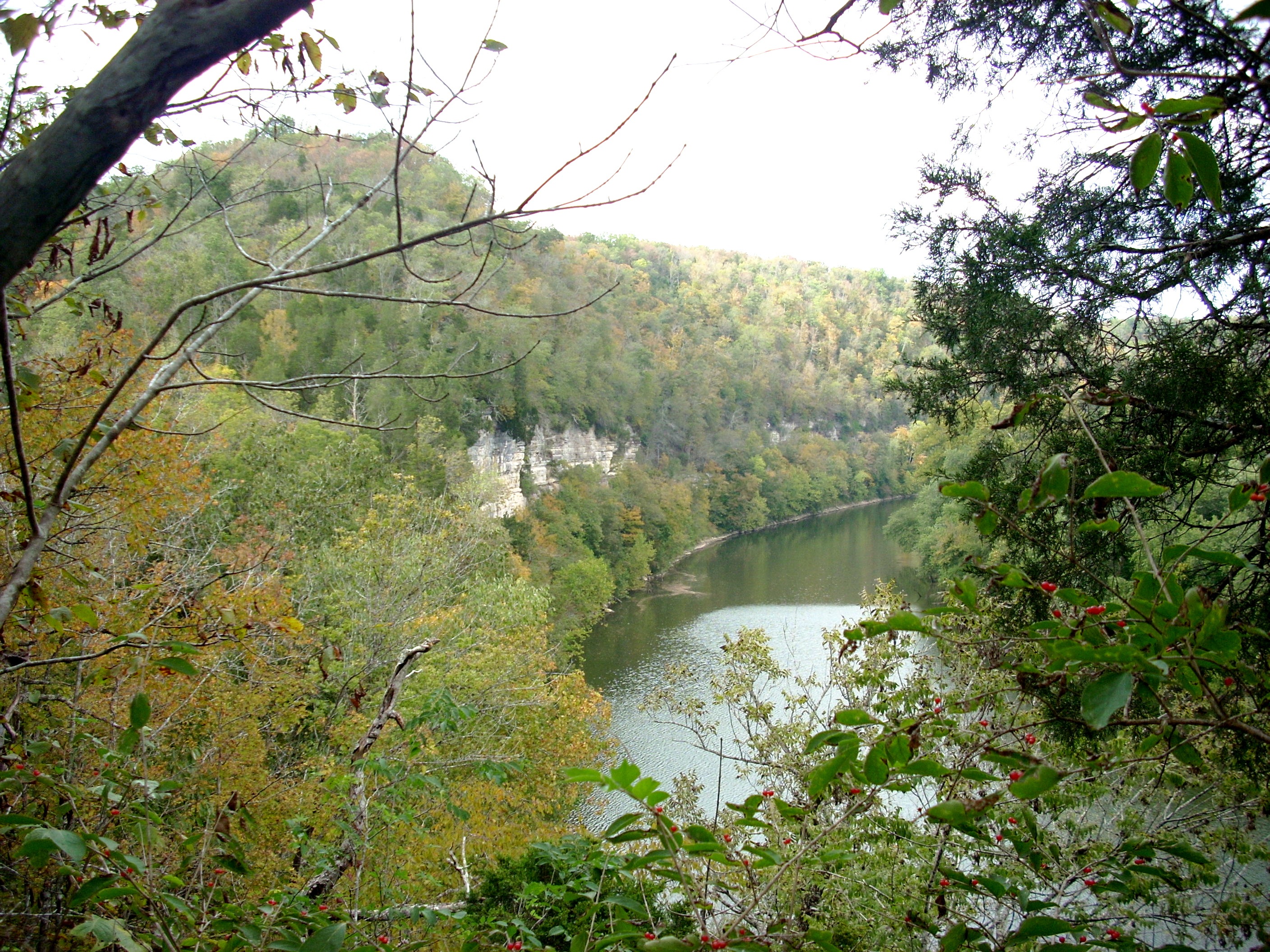 |
 |
 |
 |
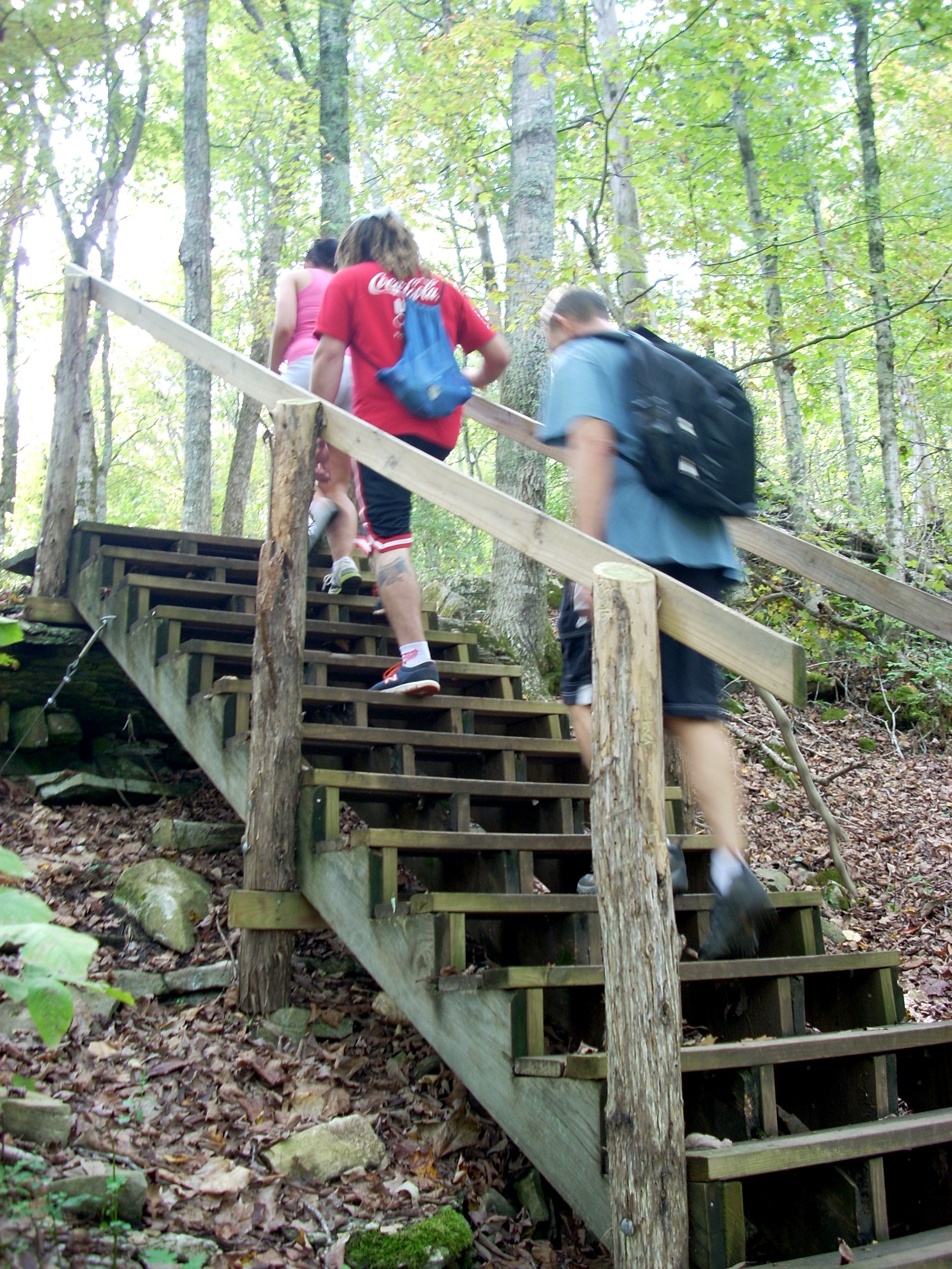 |
Beginning the final third of the Red Trail you'll encounter this staircase and another steep but short climb. But the trail will then level off, as you can see by the second and third photos above. It follows Chandlers Run, the creek that forms the eastern boundary of the nature sanctuary. We speak in terms of thirds, but the final segment of The Red Trail is actually shorter than the other two. |
| Although still in the forest, this open area to the uphill side of the Red Trail just above The Overlook is home to thousands of wild flowers, one wave in the Spring, another wave in the Fall. If you look carefully in this September photo you can see the white flowers. Those are Boneset, a rich source of Calcium. The Native Americans and later the pioneers used it medically. Its primary use is as a tea to bind with excess uric acid and thus treat Gout. But the roots were also boiled to make a poultice, which could be applied to a broken bone to help the bone mend itself. The solution extracted from the roots cannot be swallowed as it is too strong and would be toxic. In fact, it IS toxic to livestock, and farmers would clear it from pastures. | 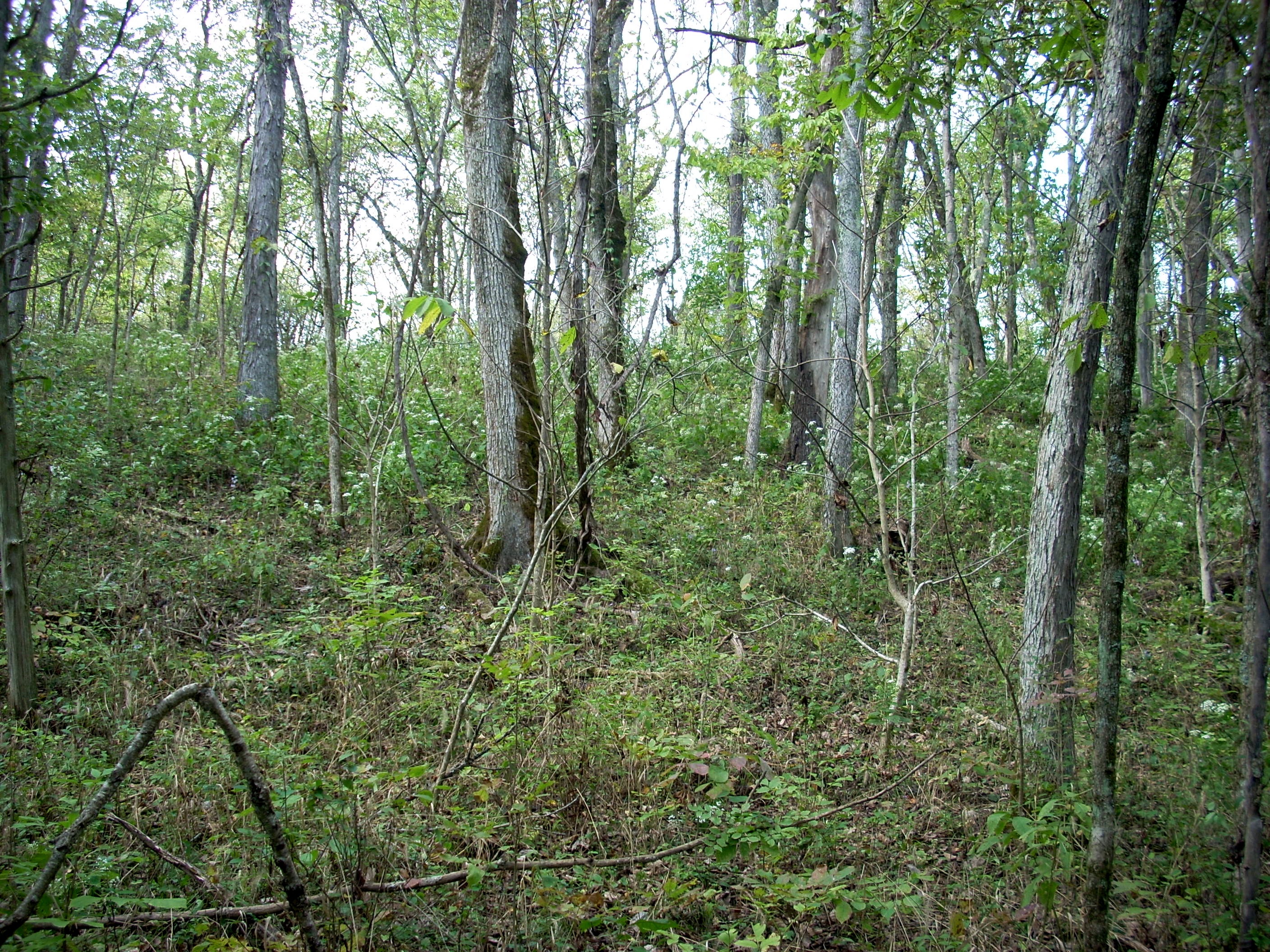 |
 |
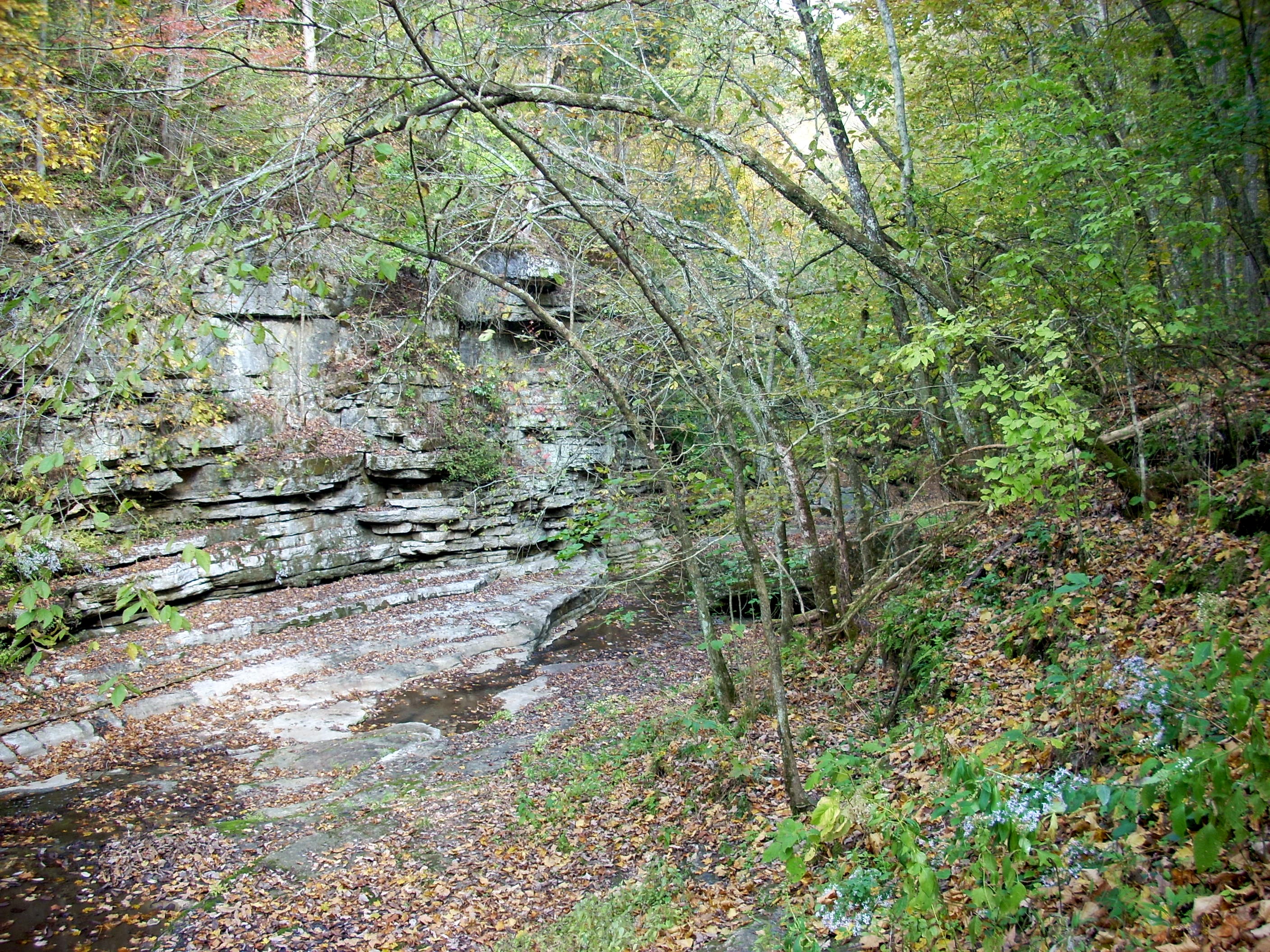
To the downhill side here is Chandler Run. It has a much lower gradient than Raven Run, slowly meandering along the southern boundary of the sanctuary. Its very shallow waters are home to a tremendous variety of insects and other invertebrates. Kids are fond of hunting crawfish in these waters. But Raven run is also home to many mammals, including Deer, Raccoon, Possum, Groundhog, Fox and Rabbits. This is one of their prime water sources, and their tracks are often visible in the soft mud and sand. The trail wanders along fairly level until you come to The Old Lime Kiln, at which time it begins switch backing steeply up the hill towared the Old Barn. |
| With only limited trails to maintain, the Raven Run staff have done a good job of providing bridges or walkways wherever water crosses the trail. This photo shows the streambed dry, but in the Spring and after heavy rains it is quite full. Many of these bridges have been hand designed and hand built specifically for this location. This photo is taken halfway between the Old Lime Kiln and the Kentucky River Overlook along Chandlers Run. | 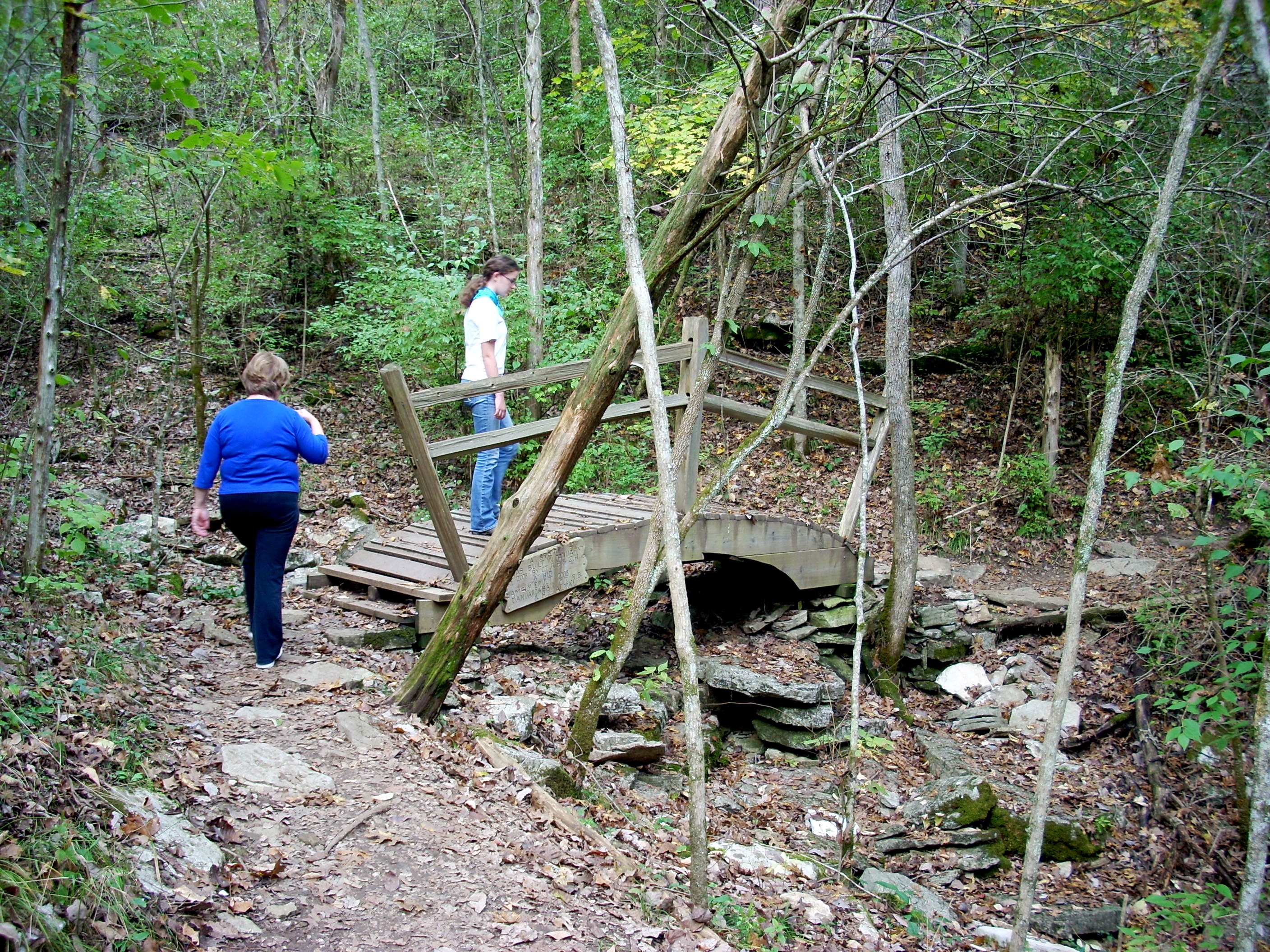 |
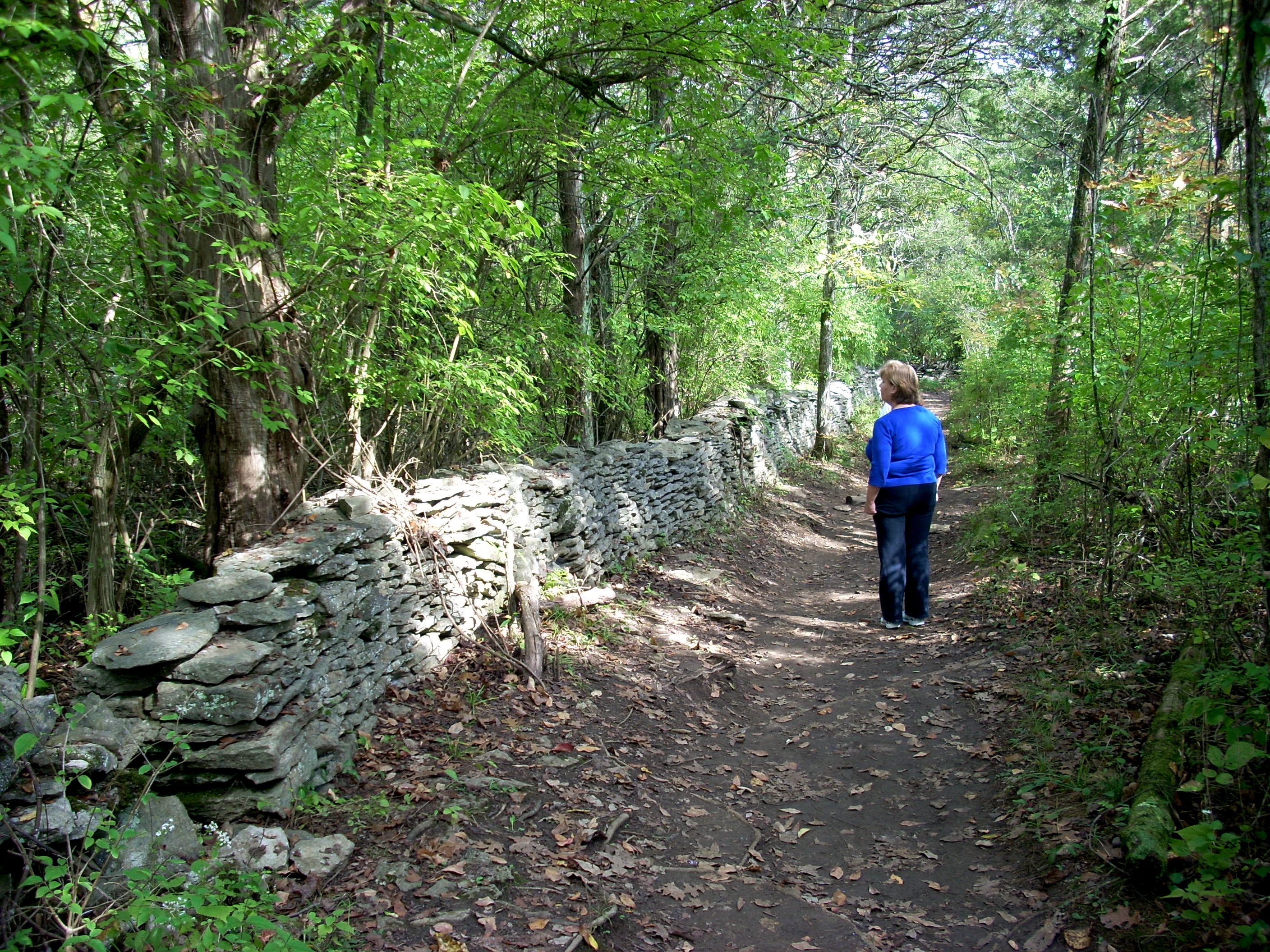 |
Beautiful stone walls crisscross the property, with the Red Trail often running alongside. Historians have documented that the walls were built in 1813. There is no mortar used anywhere. The rocks were carefully fitted together by trained Scottish stonemasons supervising slaves. Where rain runoff or streams crossed the path of a wall, they built small arched openings so the water could go on its way without eroding the fence. The owners were determined to have fences built which would last several generations. They never dreamed the fences would still stand 200 years later and outlast the farm itself. These fences cross cross the entire Raven Run property, but the best section will be to your right as you climb the hill from Chandlers Run. |
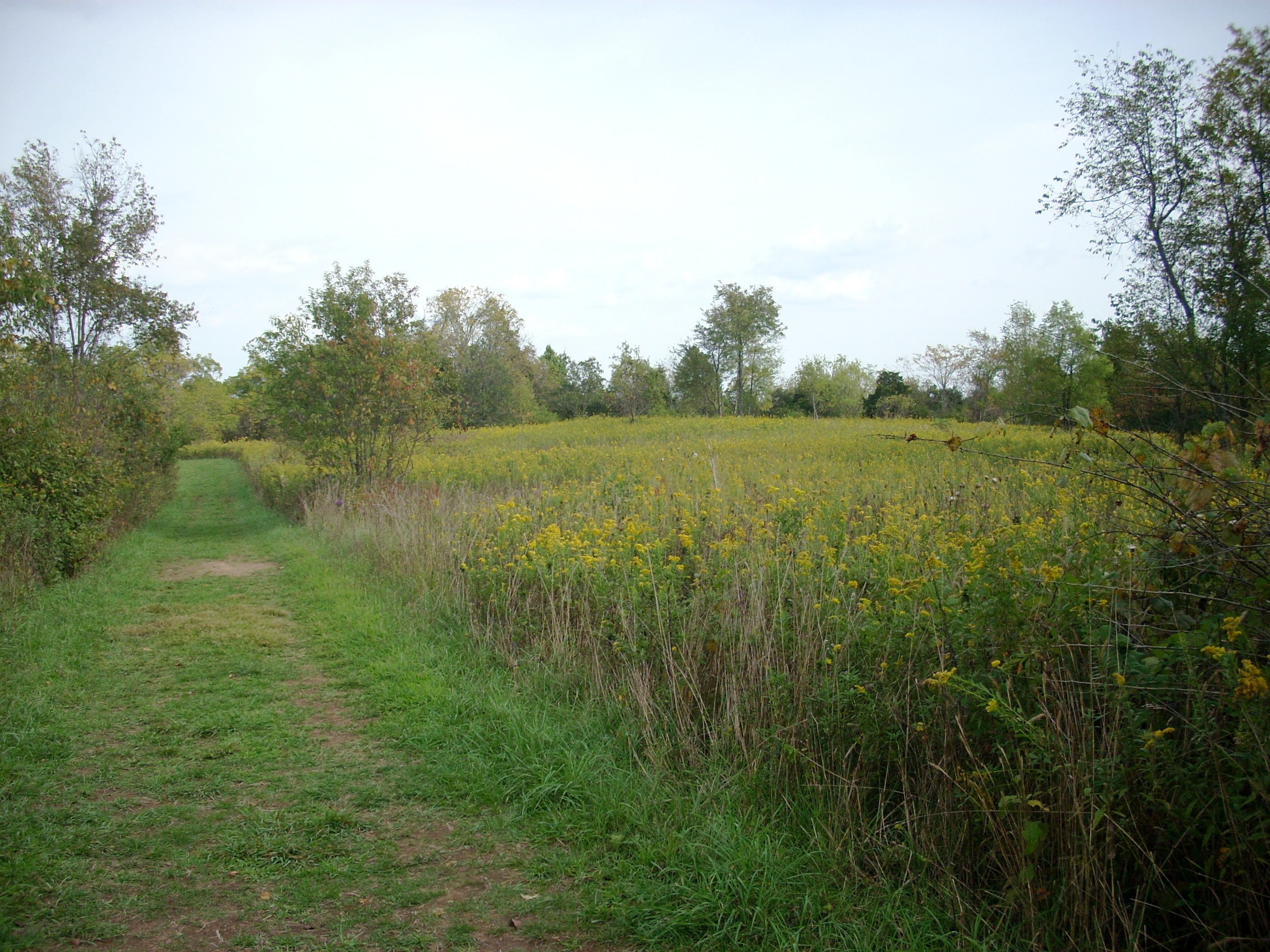
Approximately in the center of Raven Run, this is The Big Meadow, which appears on your right as you emerge from the woods. On the old farm, this was pastureland for grazing cattle. What looks like an old farm road to the left is today the Green Trail. This is one of the greatest fields of Goldenrod in Central Kentucky, and each September is a brilliant swath of yellow extending across several acres. As such, it is also a great place for observing birds, butterflies and insects. For all its beauty and convenience, Raven Run is only open daily until 4:30. Since many people cannot get there until afternoon (On Sundays, for example, most Kentuckians go to Church in the mornings), this severely limits their time. It also means during the week people cannot come out after work. The prime hours for watching wildlife, the last two hours of daylight, are thus off limits. Photographers also like the evening hours for the warmer light and shadows, so this 4:30 closing restricts their work. This disconnect has had its negative effects. Raven Run is in need of donations, and many of the people who are potential donors are excluded from its fan base because the hours do not fit their schedule so they never become frequent users. |
 |
|
|||
|